
Reporting, orientation and visualization in one system
VALTO360° exploits the full power of digital technology minimizing the risk of human error
Reporting, orientation and visualization in one system
VALTO360° exploits the full power of digital technology minimizing the risk of human error
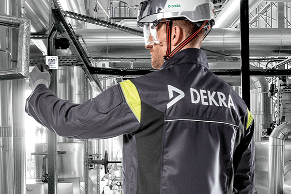
VALTO360°
VALTO360° is a virtual navigation and reporting tool. Created for displaying and managing industrial premises, it can be used anywhere that reliable orientation and access to relevant data is needed.
Sites are displayed within the system as digital twins in either 360°or 3D environments. You can also create hierarchical navigation on 2D maps where the endpoint is a digital twin – e.g., a country (2D), region (2D), city (2D) or individual facility (360°/3D).
VALTO360°is based on a highly versatile modular architecture. Data can be transferred into the application and data generated within it can be saved in your own systems. Any integrations are carried out on a case-by-case basis via the API (Application Programming Interface). Installation options are Software-as-a-Service (SaaS) or On-Premises (currently EN, GER, FR, SE, FI).